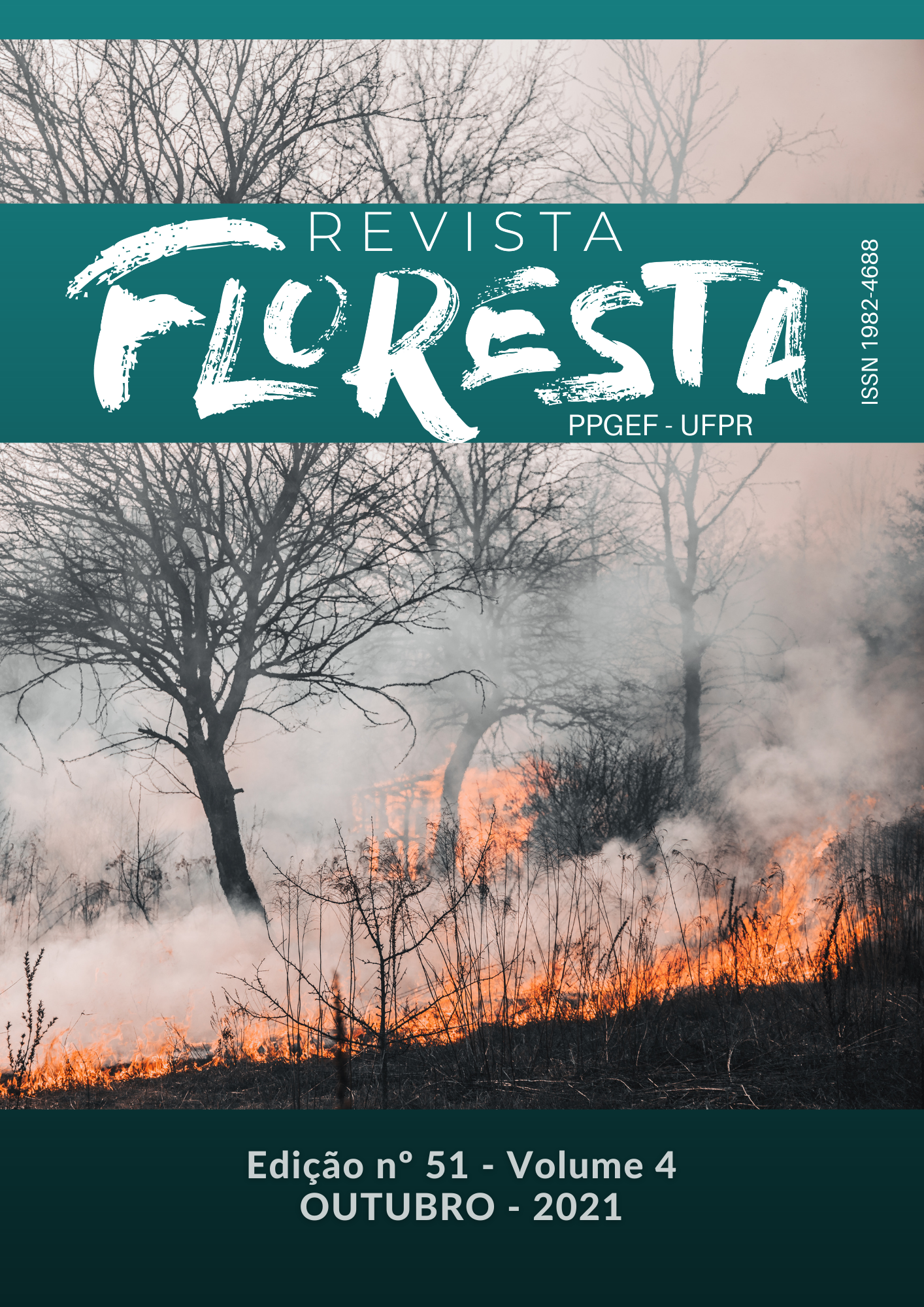
MAPPING THE RISK OF FOREST FIRES IN THE RIO PRETO NATIONAL FOREST IN THE ATLANTIC FOREST
DOI:
https://doi.org/10.5380/rf.v51i4.76806Palavras-chave:
Forest Protection, Geographic Information Systems, Fuzzy, Conservation units, Risk ZoningResumo
The Atlantic Forest biome is annually exposed to forest fires that damage thousands of hectares of forest, promote the formation of forest fragments, the destruction of biodiversity, soil compaction, runoff and silting of water bodies. Thus, the prediction and suppression of fire outbreaks are important to minimize the damage caused by fire. In this sense, this study aimed to analyze and model the risk of forest fires occurring in the Rio Preto National Forest and its buffer zone using the Fuzzy artificial intelligence technique. To do so, the land use and occupation, proximity to roads, slope and relief orientation variables were used to compose the model. Thus, the influence of each variable on burning episodes was determined with the aid of geographic information systems (GIS), as well as the spatial distribution of each of the risk classes (very low, low, moderate and high). a historical series of fires between the years 2010 and 2020 was used to perform a comparative analysis of the model. The results showed that the study area does not present worrisome risks regarding the occurrence of fires, since it is mostly covered by very low and low risk classes. Thus, it can be concluded that the application of Fuzzy modeling enables evaluating the spatial distribution of fire risk classes for the protected area areas, for which the proposed comparative analysis indicated the model’s effectiveness.
Downloads
Publicado
Como Citar
Edição
Seção
Licença
Direitos Autorais para artigos publicados nesta revista são do autor, com direitos de primeira publicação para a revista. Em virtude da aparecerem nesta revista de acesso público, os artigos são de uso gratuito, com atribuições próprias, em aplicações educacionais e não-comerciais.A revista, seguindo a recomendações do movimento Acesso Aberto, proporciona acesso publico a todo o seu conteudo, seguindo o principio de que tornar gratuito o acesso a pesquisas gera um maior intrcambio global de conhecimento.
Conteúdos do periódico licenciados sob uma CC BY-NC-SA 4.0


